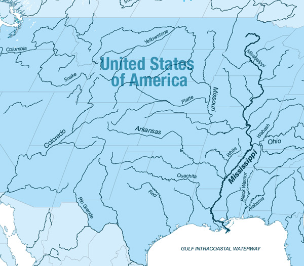
North America
US Inland Waterways
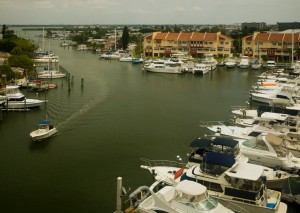
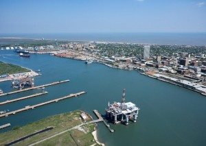
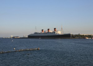
Gallery

Length:
About 20.000 Km for the whole system (3.780 km only for the Mississippi)
Navigability:
All the year, only one half navigable for goods transport
Countries crossed:
United States
Inland navigation authority:
Institute for Water Resources, U.S. Army Corps of Engineers officers http://www.iwr.usace.army.mil/
Traffic:
About 600 000 000 t/year
Facts of importance:
The inland waterways play key role in the cost efficient transport of grains, oilseeds, fertilizers and coal in the U.S..
New Orleans is the dominant port for the export of grains in the U.S. (50% of grain, soybean and prepared feed exports move by barge) and has a significant trade in U.S. export coal, though Norfolk is the largest export port in trading metallurgical coal in particular.
Main challenges for the future:
- -Increased focus on environmental sustainability
- -Leverage technology advancements
- -Need to re-capitalize aging Infrastructure
- -Need for seamless freight transport connections
- -Financing future needs during stalled global economy
- -World demand increase for grain
- -Expansion of the Panama Canal
.
Volumes tranported on the US inland waterways in 2010
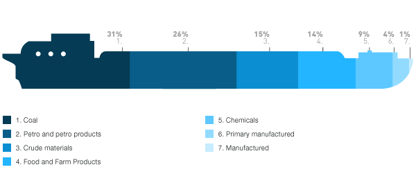
Source: U.S. Army Corps of Engineers officers