
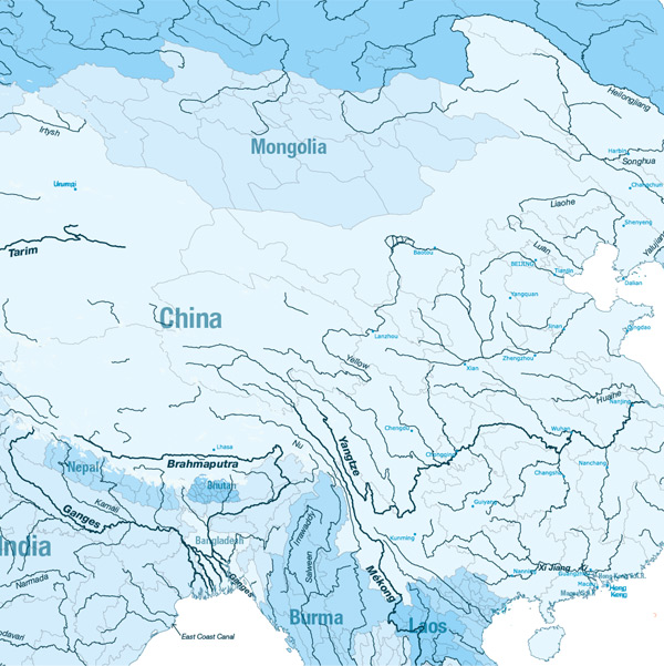
Asia
China Inland Waterways
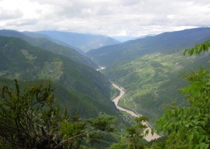
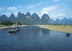
Gallery


Length:
Navigable rivers 110 000 km (Yangtze 6 418 km with 3,000 km suitable for navigation by vessels)
Navigability:
In the southern part of the country, rivers have large and stable and are ice-free all the year round, thus navigation is flourishing; in the northern part, rivers have small and unstable discharges and are frozen in winter, therefore the development of waterborne transportation is constrained. 5800 km are navigable for 1000 ton class vessels.
Countries crossed:
China
Inland navigation authority:
China Ministry of transport http://www.moc.gov.cn/
Traffic:
850 000 000 t/year on the Yangtze (1st waterway in the world for the transport of goods) 1 200 000 000 000t/year in China
Facts of importance:
China is a country with long water transportation tradition.
The Yangtze interconnects with many lakes, railways, trunk highways and seaborne traffic, they form the largest communications and transportation network and have a very important economic position in China. The growth of container traffic (textile and hardware products) has dominated overall traffic growth on the inland waterway system.
Main challenges for the future:
- -Continuing channel upgrades
- -Fleet modernization including the use of separate barges and pusher units instead of self-powered small vessels.
- -Further commercialization implies the end of family-operated vessels, which are an important source of employment
- -Awareness of inland waterways for transportation and its role in sustainable development
- -Operational scales in each sub-sector of IWT
- -Integration of IWT into intermodal transport and logistics networks
Volumes-tranporterd-on-the-China-Waterways-Systems-in-2006
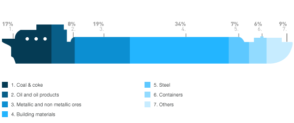
Source: World Bank